

The St3TART-FO project has launched its collaborative campaign activities to broaden its Fiducial Reference Measurement (FRM) network for Sentinel-3 altimetry validation. Five new partners join the consortium, bringing complementary expertise and new data across inland waters and polar regions.
ENSTA and the GLASIC activity
GLASIC establishes a new FRM Cal/Val site on the Guerlédan lake in Brittany. A vorteX-io micro-station delivers high-frequency hydrological measurements, complemented by field campaigns already conducted on the lake by hydrographic and oceanographic engineering students from ENSTA, using GNSS-based sensors for spatially distributed water-level observations.
University of Bonn extends the GNSS-IR-FRM network
Building on proven Raspberry Pi Reflector (RPR) deployments in Germany and Cameroon, University of Bonn is leading the expansion of this low-cost GNSS Interferometric Reflectometry network to West Africa (Burkina Faso, Cameroon, Ghana, Nigeria, Senegal) and the Asia-Pacific region (Australia, Philippines) : 17 new sites in total.
i-Techdrone, University of Würzburg and UNIS reinforce campaigns in Svalbard: ICEFRM
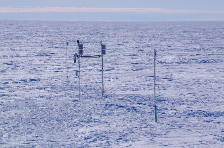
The ICEFRM activity aims to turn Svalbard into a recognised FRM super site for sea ice and land ice, supporting Sentinel-3 and future Copernicus Expansion missions (CRISTAL, CIMR, Sentinel-3 NG Topography). i-Techdrone and University of Würzburg bring drone-based snow radar and lidar expertise to the campaign, while UNIS (University Centre in Svalbard) provides local logistical support for the multi-sensor, multi-platform approach.
Together, these five additions strengthen the diversity and representativeness of the St3TART-FO FRM network — spanning lakes, rivers, and polar surfaces, leaning towards a truly global foundation for Sentinel-3 altimetry validation.