Sentinel-3 FRM for Hydrology
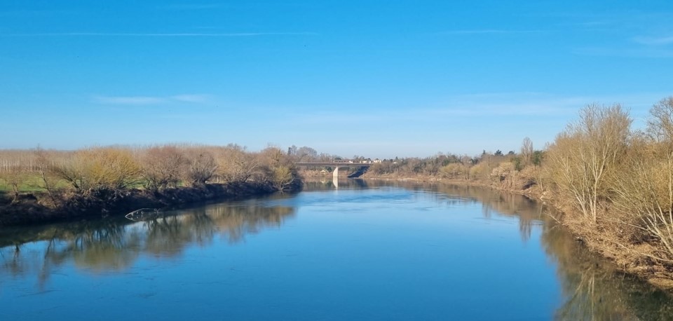
The suitability of an inland water measurement system as validation means for satellite altimetry measurements depends on the water body characteristics and on the surrounding environment. Because each in-situ system has its own characteristics and measurement techniques, it is crucial to review the existing methodologies and sensors and to define procedures, protocols and key variables to cross-compare the different solutions with traceable metrics that should also account for the satellite measurement characteristics (footprint size, sampling, etc.). The lack of knowledge about environmental conditions, such as geoid uncertainties over large lakes, and river shape and dynamics, as well as differences between the actual in-situ gauge location and the satellite pass, also contribute to the error budget. The impact of the inland water surface roughness, and the potential contamination from surrounding terrain on the water height values provided by the altimeter also need to be considered.
In the St3TART project, the Hydrology team will review the existing methodologies and associated ground instrumentation that could be used for validating and monitoring the performance and stability of the Copernicus Sentinel-3 altimeter measurement via Fiducial Reference Measurements (FRM) over inland waters and estuaries. Hydrology FRM validation data, associated processes, procedures and uncertainties will be defined, considering the fact that the same approach and instruments cannot be used over all inland water bodies. Indeed, the validation over a large lake is different from the one over a small river or over an estuarine region. The types of validation means may also differ depending on the countries, and the in-situ sensors can vary for a permanent calibration site and for a specific one-shot field campaign.
Based on these analyses, systematic and periodic field campaign procedures over inland water bodies will be described in a roadmap, evaluating the pros and cons of the various types of instruments, existing FRM data sites and potential new FRM data sites, and considering rivers and lakes in Europe and outside Europe. The Hydrology team will also explore the possibility to progressively implement an international network of inland-water validation sites.
Hydrological field campaigns will be implemented and executed in some European regions during the project, following two different approaches:
- at permanent sites to collect the data required for the routine and operational validation of the Copernicus Sentinel-3 mission;
- at selected sites to gather additional data that may be required to support the analysis of the operational in-situ data and/or the generation of higher-level products.
The outcomes of these demonstration campaigns will help refine the procedures and address potential issues, to prepare future campaigns in a longer term.
Partners involved:
- CNES
- VorteX.io
- DTU Space
- SERTIT/University of Strasbourg
- GIS/University of Stuttgart
- IRPI/CNR
- CLS
- Hydro-Matters
- NOVELTIS
- M2C/University of Rouen
- SYRTE
- IRD
- DT INSU
- NPL